Imagine Hilary Clinton receiving her hypothetical “3am phone call” and entering the situation room as a horrific hurricane batters the Gulf Coast. While USAID assesses the damage in the Caribbean, FEMA needs immediate, reliable, and detailed information to identify domestic needs. Luckily, it’s 2016. Computer scientists have developed reliable tools to rapidly collect, interpret and transmit hyperlocal data. […]

Author: Brian O'Donnell
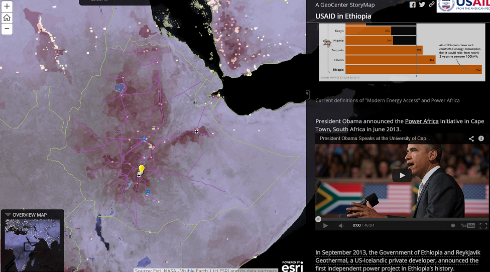
Cartography is pretty hot these days. Maps tap into our brains’ spatial reasoning abilities to make any public issue more immediate and understandable to wider audiences—and with the advent of open data and free tools, anyone with a computer can produce maps. Clearly, the trend has particular consequences for policymaking, although the burden of proof […]
Stay in policy school long enough and you’ll notice the growing tendency to treat every problem as a four-dimensional Rubik’s cube just waiting for the right solution. Development studies, in particular, can often fall into the trap of trying to solve a macro phenomenon before fully understanding local economic and political conditions. This is a […]