about
The DEL project aims to create a system that takes real-time inputs from a flying drone and output an accurate state estimation with a 3-D error ellipsoid visualization. The system aims to achieve the … Read More
timeline
(Fall 2021) Initial Idea As autonomous drone technology is coming to the forefront of the aerospace industry, the growing use of automated drones introduces a higher risk of drone collisions. … Read More
documentation
The documentation section provides a more detailed look at our project. Information such as procurement details, project requirements, safety controls, part analysis, and scheduling can be found in … Read More

Drones, like most people these days, rely heavily on GPS for navigation. However, there are some tricky situations, such as dense urban environments, where GPS isn’t available, and the drones need another method to get around.
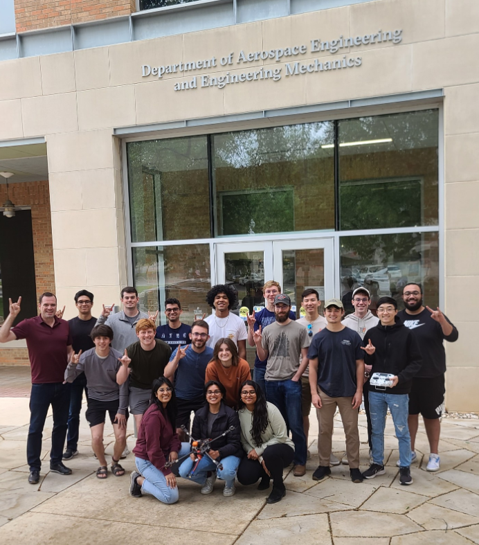
A group of aerospace engineering students was recently selected to the annual NASA University Student Research Challenge, where they will explore this challenge. Their proposal focuses on “space-based state estimation techniques,” for drones, which involves using algorithms and the sensors to pinpoint their location in situations where GPS is not available. This would give them a more accurate picture of crowded environments and make it easier for them to navigate autonomously.
The project looks toward a future where drone delivery and other applications are more popular, and these systems aim to help drones avoid repeated crashes that could cost companies millions and endanger people on the street and other aircraft in the sky.
“Our research seeks to aid in the expansion of drone delivery services for companies such as Amazon and Walmart,” said Lauren Byram, an aerospace engineering alum. “An increase in the accuracy and ability of estimating the state of drones will allow these services to move into more urban and densely populated areas.”
Beyond the big problem the students are tackling, the project is notable because it is led by undergraduates. The NASA challenge field is almost exclusively graduate teams, and this group is one of very few in the history of the ASE/EM department at UT Austin to reach this level of funding and achievement as undergrads.
The project includes $60,000 in funding, and the students are required to raise funds as well. The three student leaders will be assisted by approximately 20 other students from the incoming cohort of the design course.
The students will operate a fleet of drones that don’t have knowledge of each other’s location close together. Simultaneously, they will create visualizations of each drone’s error ellipsoid, which is the zone of probability where the drone is located. Since there’s no GPS, it’s not possible to be 100% certain of the drone’s location.
The team proposes to apply an extended Kalman filter algorithm to the drones to help the devices narrow down this location zone. This technique is popular with orbital spacecraft, and it is starting to show up in commercial aircraft more often. By applying it to multiple drones, they could create more accurate data about dense areas and help each other navigate and avoid crashes.
“In terms of safety, we look forward to ensuring safe separation between aircraft to eliminate collisions,” said Pires. “I am excited about figuring out how we will utilize the extended Kalman filter to estimate the state of the drone.”
Ultimately, state estimation data could be used to create a centralized air traffic control system for drones, similar to the ones that keep airplanes safe in the sky. This system could be almost completely autonomous, making it easier for them to fly when out of sight and potentially removing another hurdle holding back wider regulatory approval.
“Solving the issue of drone usage in high-density, non-GPS environments will likely have a significant economic benefit to many industries worldwide,” said Roberts. “In addition, if developed properly, this technology could be used in a variety of ways to increase safety with drone usage globally.”