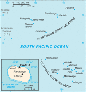
 This Wednesday of OA Week, we’d like to highlight a longstanding online resource, the PCL Maps collection. The first maps were scanned and put online in 1994 and now there are about 70,000 maps online out of a total collection of over 250,000 maps. Most of the online maps in the collection are in the public domain, which means they belong to us all and are free to reuse without needing to ask for permission. This is a wonderful resource for those who want to learn more about the world we live in. If you are curious about the map collection and would like to learn more, check out this in depth blog post from 2015.


