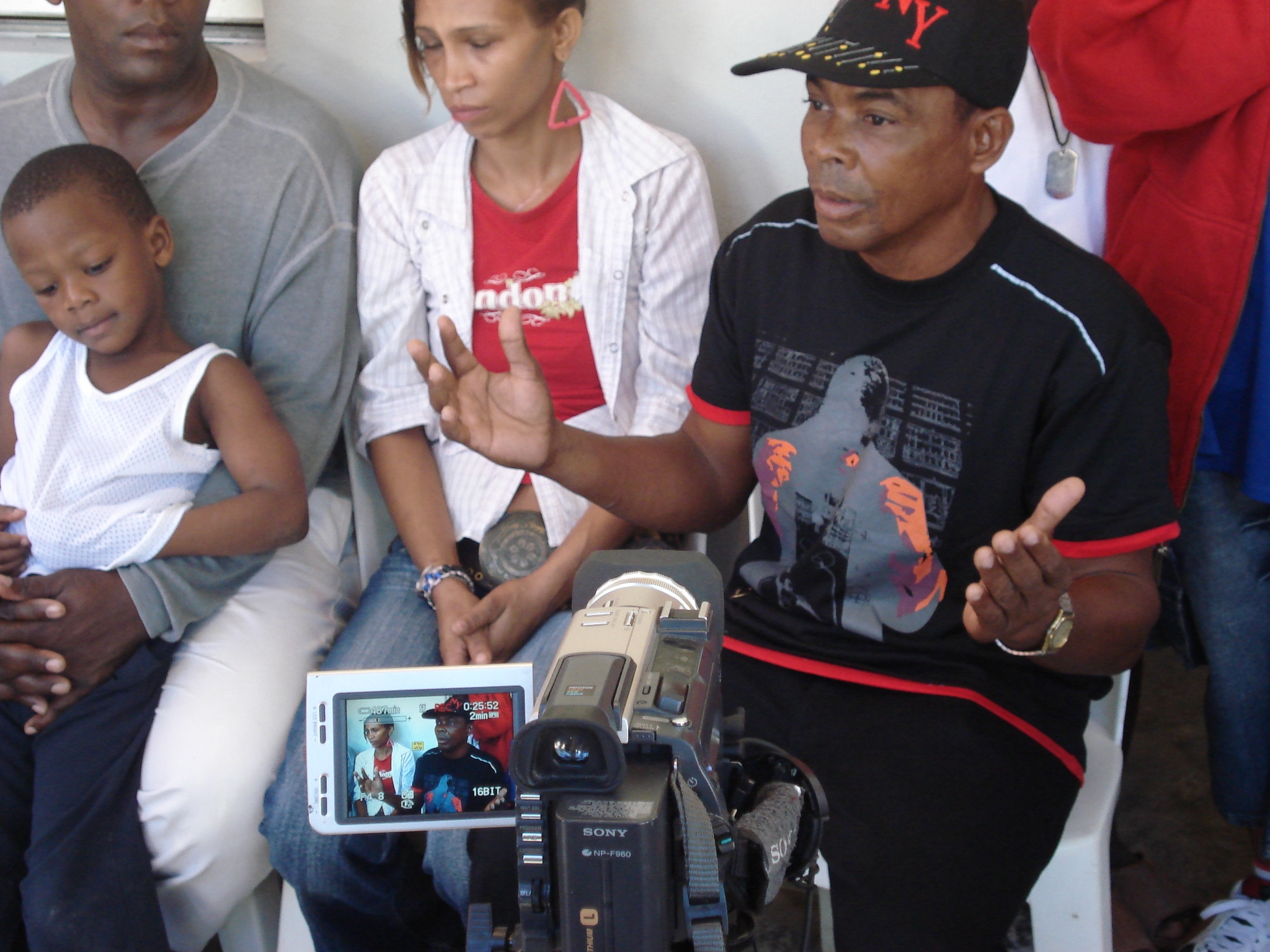
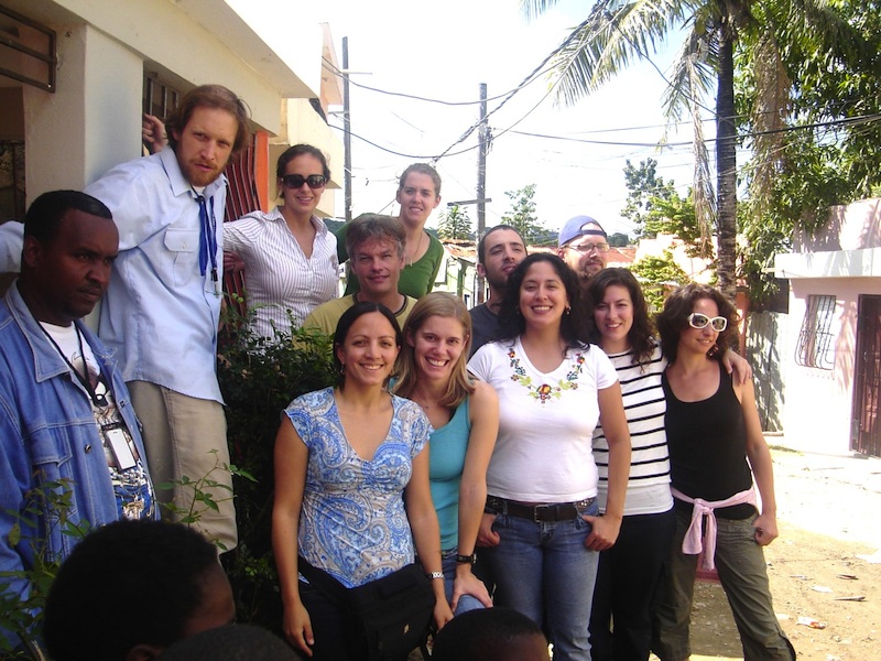
In 2008, the initiative’s work focused on conducting a participatory risk and vulnerability assessment. See a video of the course here, and explore the full report from the 2008 practicum course by following the the link below.
El Rincon de Los Olivdados: Methods for Risk and Vulnerability Assessment
During field work, students separated into three teams to work with residents to approach studying the “problem” of the cañada from a variety of perspectives.
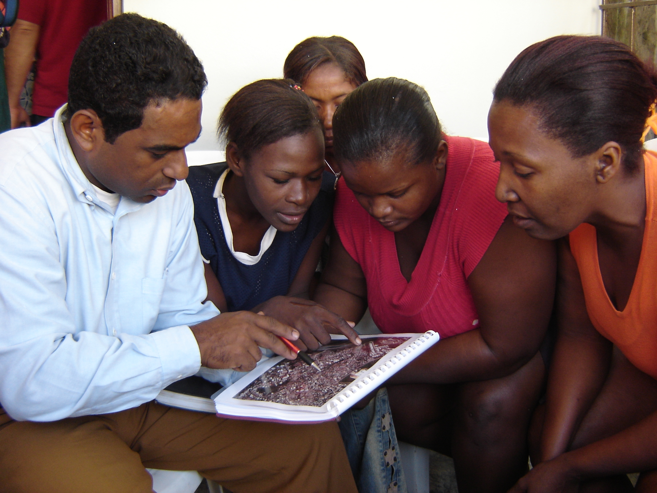
The environmental survey team was responsible for analyzing, documenting, measuring, and drawing the cañada, assessing the quality of the structures of the houses, and conducting informal interviews to better understand the ways that people spatially experience the cañada. The social documentation team was charged with designing a questionnaire based in part on the official census of the Dominican Republic. Their goal was to collect data on the social reality of community members, in particular focusing on the impact of flooding on the living conditions of the people they surveyed. The geographic information systems team documented the physical conditions of the area by collecting spatial and social data on the houses, roads, water, flow, and elevation of the area in order to develop GIS maps that contained the information collected in the field.