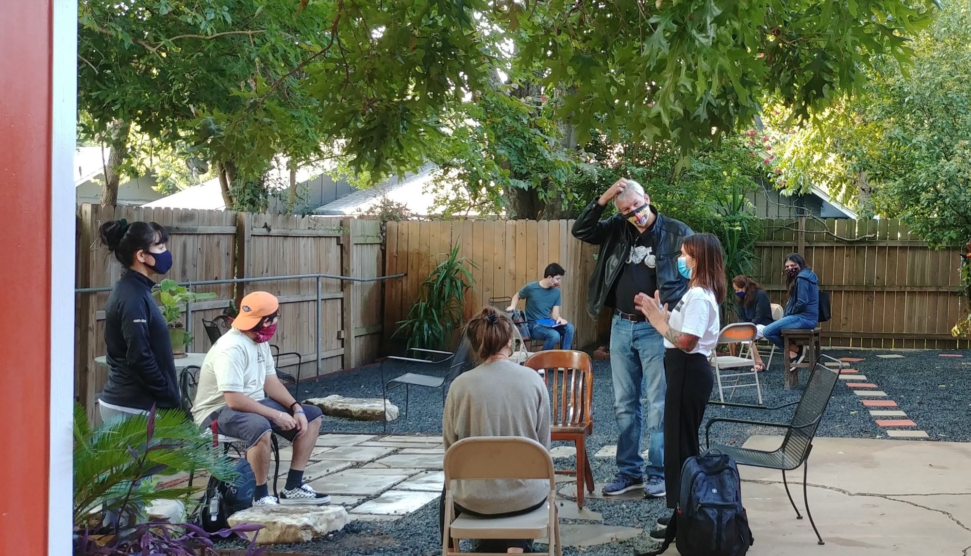
Home

This project grew from the initiative of three Austin residents, Blanca Ortíz, Elena Rodríguez, and Enedina Sánchez, to transform a section of the East Williamson Creek Greenbelt into a safe and welcoming park for their neighbors. The focus of the project is a neglected section of parkland within the Greenbelt extending from Pleasant Valley Road Bridge to the intersection of Creek Bend Drive and Brassiewood Drive in the Dove Springs neighborhood.

Download the 2020-21 project report here.

Download the 2023-24 project report here.

Entrance to the East Williamson Creek Greenbelt from Creek Bend Drive in Dove Springs

In academic year 2020-21, Ortíz, Rodríguez, and Sánchez worked with community organizer Frances Acuña of Go! Austin/¡Vamos! Austin (GAVA) and a group of graduate students from the University of Texas at Austin to complete a community-centered project to reimagine the park space. The primary goal of the collaboration was to document past and current uses of the park as well as residents’ perspectives and priorities for the future park space. In fall semester 2023, the work continued through a semester long project to develop interpretive signs for the park.

Residents have complex and vivid memories of past uses of the park, including nostalgia for a time when the park was better maintained. Many youth residents perceived the site as a uniquely natural space in Dove Springs and wished to maintain its rugged and relatively undisturbed quality. Resident elders, on the other hand, tended to prefer a more controlled and heavily managed space. However, all participants agreed that the park ought to provide a diversity of smaller spaces for different uses and that it needed more accessible pathways and visible signage to attract visitors. The depth of residents’ responses to the project engendered an idea to reclaim the floodwall by installing a mural that would reflect the community’s values, diversity, and history. We decided to present the results of this work through ESRI StoryMaps, which allow users to “walk” through the park space to see videos, pictures and quotes reflecting the variety of landscapes within the park and the diversity of residents’ perspectives and feelings towards it. To complement the interactive maps, we also designed physical maps and posters that facilitated design discussions with residents and our partners, and filmed video interviews with our partners where they reflected on the research and design process. All of these materials, including a report intended for community activists, city officials, and educators, are available to view and download on this website.

Partners gathered at the entrance to the greenbelt

Social Widgets powered by AB-WebLog.com.