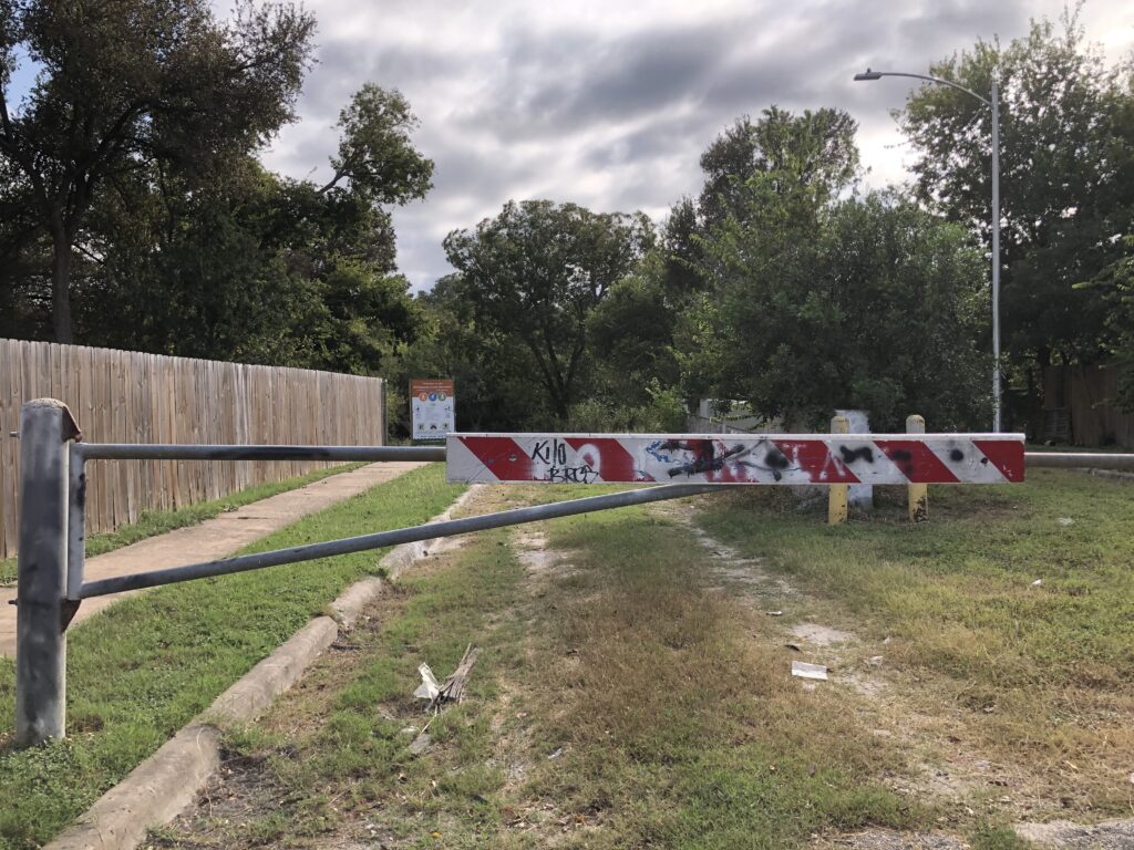
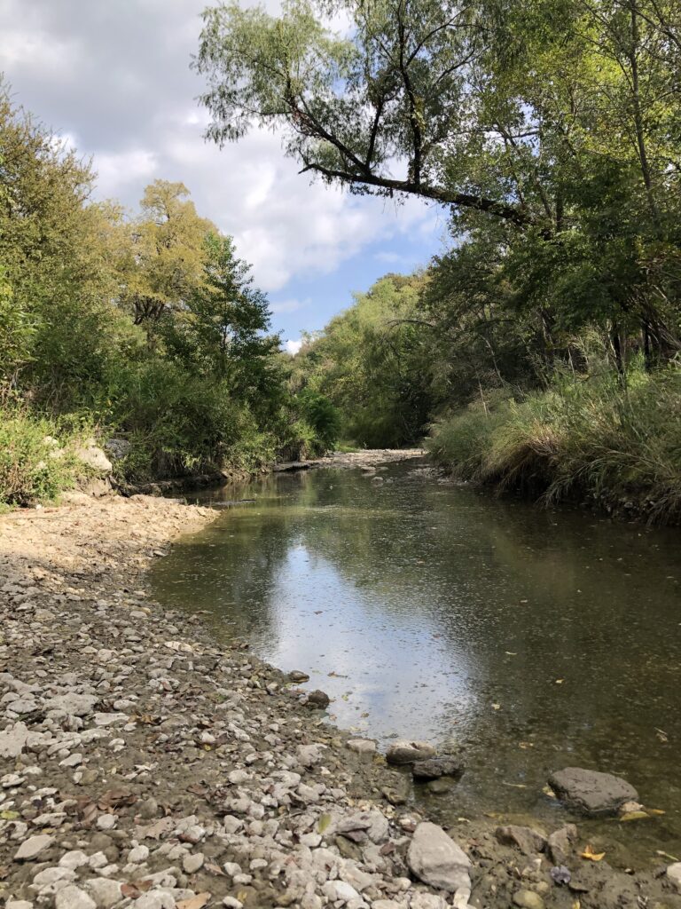
The project site is located within the East Williamson Creek Greenbelt whose trail head starts on Creek Bend Drive between two homes (4907 and 5001 Creek Bend Dr.). The Williamson Creek Greenbelt stretches from the Oak Hill neighborhood in southwest Austin to McKinney Falls State Park. Williamson Creek is dry for most of the year but is notoriously prone to flooding.


After extensive flooding in 1998 and 2001 devastated homes on Teewood Drive, the site was acquired by the City of Austin in order to buy out the homes located in the flood zone. With the assistance of the U.S. Army Corps of Engineers, the current floodwall was installed to protect the remaining homes on Creek Bend Dr. from flood risks. Teewood Dr. is now truncated immediately south of Creek Bend Dr. and nothing remains of the homes and apartments once located on the site.
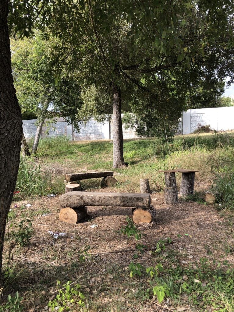
Although the site has seen limited maintenance, residents have developed their own trails in the area. Mulch has been placed by community volunteers to distinguish and maintain pathways and members of the Civilian Conservation Corps have created simple benches from fallen trees to serve as seating for ad hoc rest stops. The Creek Adopters also periodically clean the grounds throughout the year in an effort to keep the site clear of litter.

Trails covered with mulch 
Log benches
The site has significant constraints to development and human use, the biggest of which is the entire site is in the 100- or 500-year floodplains. These lands have a 1% and 0.2% chance of flooding every year, respectively. Moreover, the site is further constrained by erosion hazards in which land is washed away by water, stream ecosystem protection areas, and a right-of-way or access point at the trailhead entrance maintained by the City of Austin Public Works Department and used by city personnel and maintenance crews.

