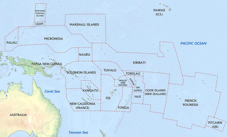
One of the most visible threats to Oceania is sea level rise. Rightly so, as the Pacific Community (SPC) has estimated that the vast majority of people living in Oceania live within 1 kilometer of the coastline. What can seem as a simple calculation of determining what percentage of a… read more
data
Bathymetry Data Collection: Historical Challenges and New Developments
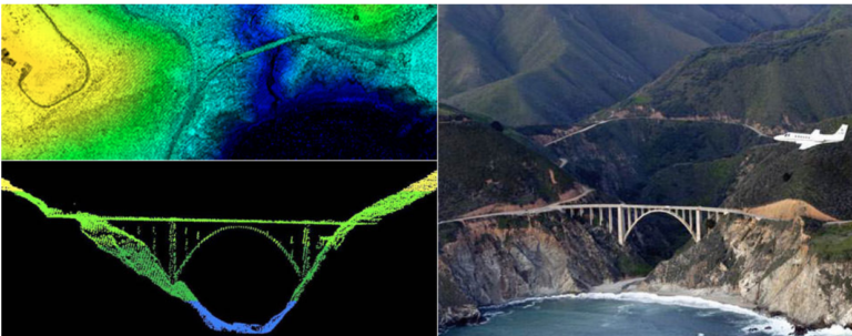
In May of 2019, the Tuvalu Coastal Adaptation Project (TCAP), in partnership with the United Nations Development Programme (UNDP), contracted the company Furgo to conduct an airborne LIDAR survey across nine of Tuvalu’s atoll islands. The purpose of this survey was to collect bathymetry data, or data on the topographic… read more
Information imperialism and digital colonialism: Why we need to make sure we are building capacity in Oceanic countries
After attending the American Geophysical Union (AGU) 2019 Conference, I began to think a great deal about the role of science and scientific research in addressing global environmental changes. With nearly 30,000 attendees, this is consistently the second largest annual gathering of researchers in the world focusing on a vast… read more
Oceania from Space: Why remote sensing is vital for understanding the effects of climate change
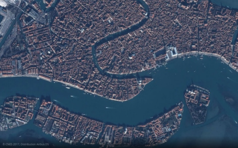
Oceania is known for its low-lying island nations, with over 10,000 islands, represented by over 20 countries (including territories/dependencies), spanning an area approximately the size of the United States. Monitoring threats such as sea level rise, tropical storm paths, and water quality is impossible for these nations to do using… read more
Disparate Data Sets: Information Challenges in Oceania
The purpose of our capstone course is to evaluate climate-change related disaster preparedness in a subset of Oceania to identify vulnerabilities and prioritize “action areas for the US to address climate-related risks.” Our ability to meaningfully identify areas of risk and opportunity, however, is limited by a lack of accurate,… read more


