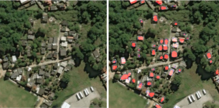
Convolutional Neural Networks (CNNs) are neural networks that can process images and identify objects within them. Although these methods of machine learning have been around for a long time, it was only within the past 10 years that the error of image classification was reduced to 15%, leading many companies… read more
Modeling and Protecting Freshwater Resources for Disaster Resilience
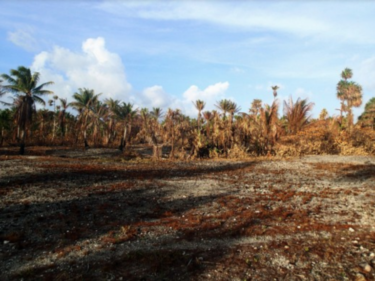
In 2016, a drought on the Marshall Islands caused over 16,000 people to suffer from extreme water shortages. The government declared a state of emergency well after freshwater wells had already been contaminated by seawater, leaving thousands to drink from coconuts for survival. This picture is unfortunately not uncommon for… read more
Shrinking Shores? – Ocean Dynamics and Customizing Adaptation Plans
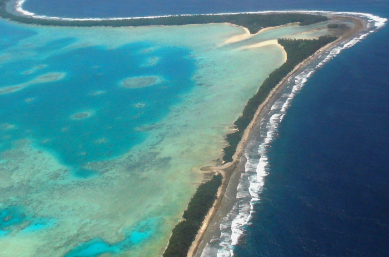
When it comes to climate vulnerability, one group of people will be particularly challenged: those living on low-lying islands, especially atolls. There’s frequently news about how quickly climate change will necessitate relocation or resettlement but it often focuses on the time at which sea-level rise will cover the land, making… read more
Bathymetry Data Collection: Historical Challenges and New Developments
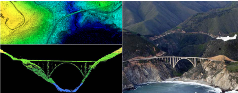
In May of 2019, the Tuvalu Coastal Adaptation Project (TCAP), in partnership with the United Nations Development Programme (UNDP), contracted the company Furgo to conduct an airborne LIDAR survey across nine of Tuvalu’s atoll islands. The purpose of this survey was to collect bathymetry data, or data on the topographic… read more


