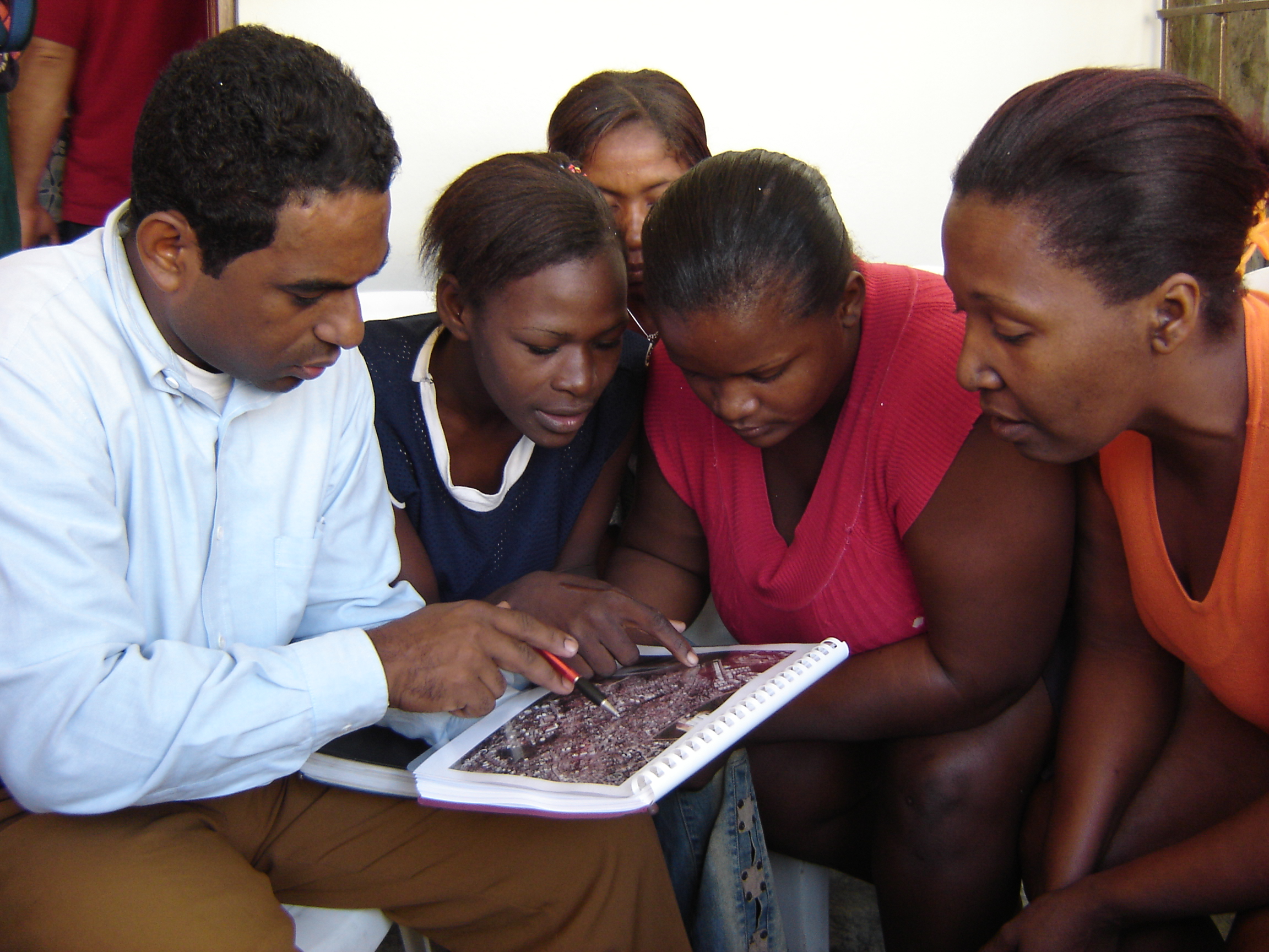
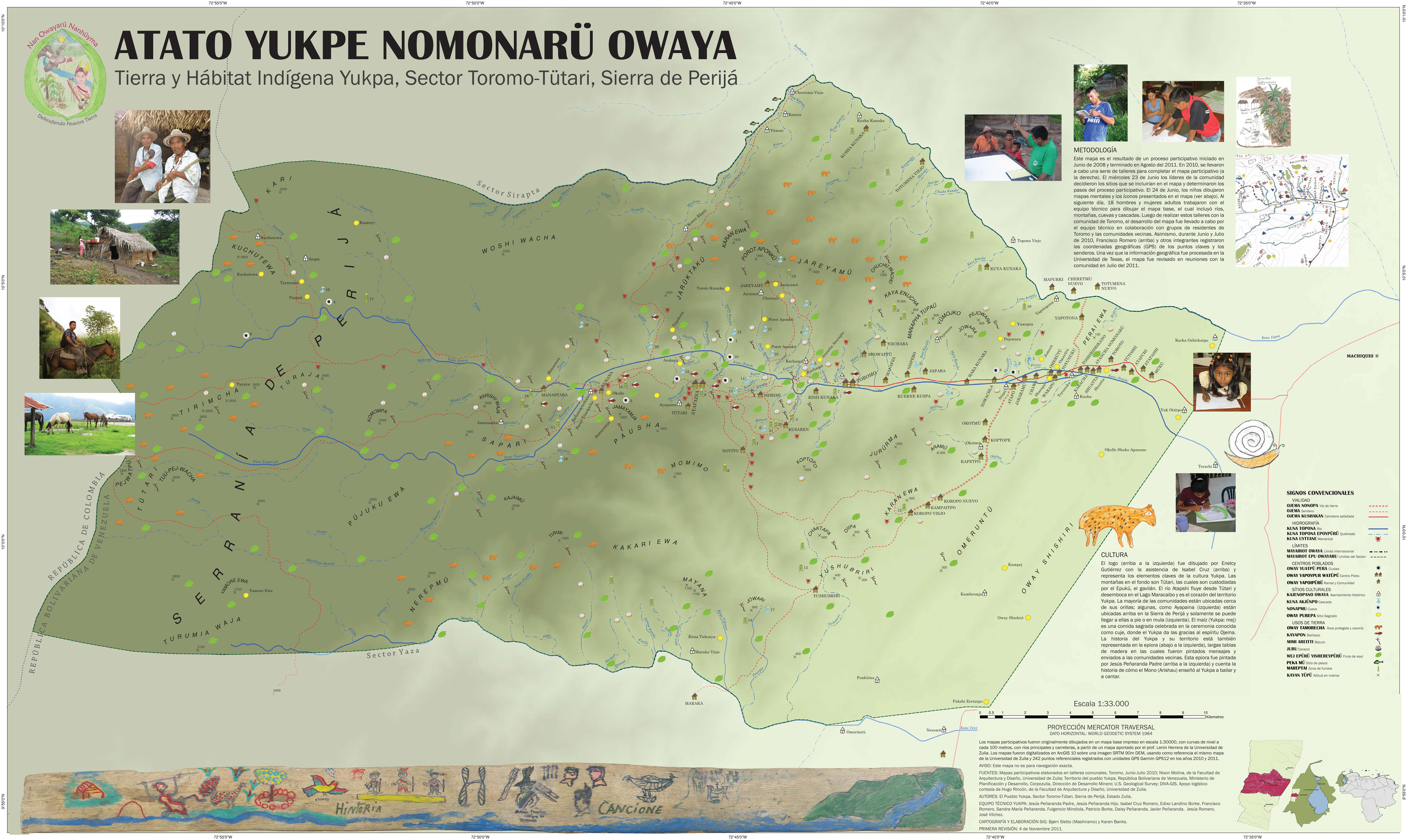
Initiative participants work to develop reflective strategies of participatory mapping that safeguard the knowledges of indigenous and vulnerable communities and furthers the struggle for social and environmental justice. Dr. Alfredo Wagner and colleagues at the Proyecto Nueva Cartografía Social de la Amazonía in Manaus, Brasil is developing innovative methods for social cartography, including among youth and urban populations. Dr. Bjorn Sletto publishes reports and guidebooks oriented towards practitioners with indigenous colleagues in Venezuela and with UT-Austin graduate students, drawing on their service-learning projects in informal urban settlements in the Dominican Republic. His and his students’ work also includes video of mapping with indigenous Pemon in the Gran Sabana, Venezuela, and participatory research and pedagogy with vulnerable populations in Santo Domingo, the Dominican Republic. More recently, he has worked with indigenous Yukpa partners and graduate students at UT-Austin to explore GIS and web-based mapping and design tools for representations of indigenous cultural landscapes. Dr. Richard Smith and the Instituto del Bien Común (IBC), Perú, have long been in the forefront of developing effective and rigorous participatory mapping methods using emerging GPS and GIS technologies. In Chile, professor Pablo Mansilla Quiñones at the Instituto de Geografía, Pontificia Universidad Católica de Valparaíso, will be writing about the Atlas Mapuche for a new volume on indigenous cartographies co-edited by Drs. Bjorn Sletto, Joe Bryan, Alfredo Wagner, and Charles Hale. The edited book will be published in September 2020 by UT Press.

Participatory mapping in the informal settlement of Los Platanitos, Santo Domingo, Dominican Republic.
