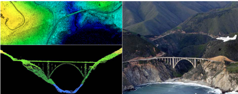
In May of 2019, the Tuvalu Coastal Adaptation Project (TCAP), in partnership with the United Nations Development Programme (UNDP), contracted the company Furgo to conduct an airborne LIDAR survey across nine of Tuvalu’s atoll islands. The purpose of this survey was to collect bathymetry data, or data on the topographic… read more
GIS
Disparate Data Sets: Information Challenges in Oceania
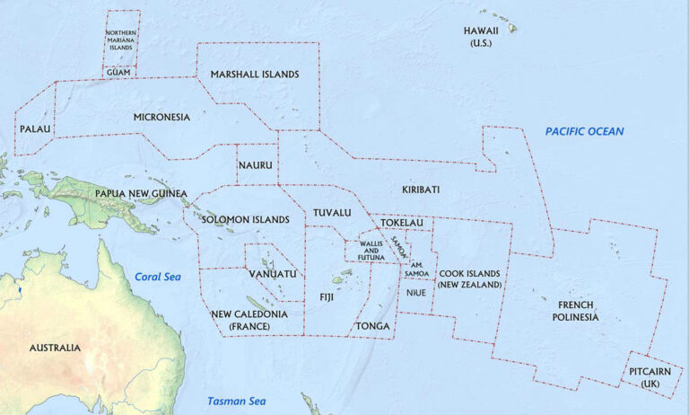
The purpose of our capstone course is to evaluate climate-change related disaster preparedness in a subset of Oceania to identify vulnerabilities and prioritize “action areas for the US to address climate-related risks.” Our ability to meaningfully identify areas of risk and opportunity, however, is limited by a lack of accurate,… read more


